Pits Atlas: King 13a
| Impact Melt pit: King | |
|---|---|
| Name | King 13a |
| Lat. | 6.2538 |
| Long. | 119.7626 |
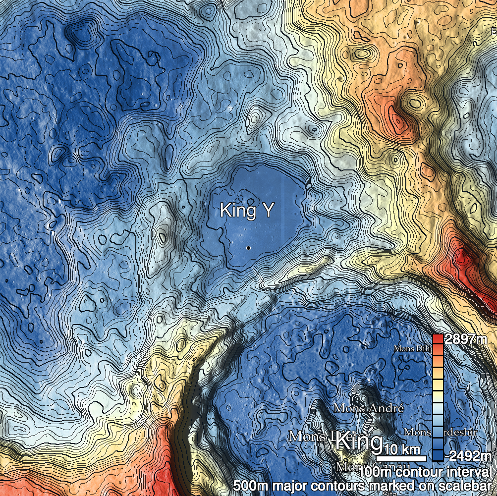
| Desc. | Southern and larger of two pits in a PRF. King 13b is ~40m NW. The E (uphill) wall of this PRF is a ramp to the W wall. There is a NNW-SSE trending linear depression/fracture roughly in line with both King 13 pits, although 13a is slightly off to one side. |
| Types | |
| Terrain | Impact Melt |
| Host Feature | King |
| Funnel Min. Diam. | 21 |
| Funnel Max. Diam. | 28 |
| Inner Min. Diam. | 15 |
| Inner Max. Diam. | 22 |
| Azimuth | 70 |
| Depth | 8.0 |
| Depth 1 | 11.5 |
| Depth 2 | 7.0 |
| Depth 3 | 6.5 |
| Best Stereo Left | M143839277L |
| Best Stereo Right | M143839277L |
| DTMs | NAC_DTM_KINGCRATER3 |
| Clipping Width | 200 |
| Other IMGs | |
| Data Warning | Depth 1 is very high-Sun, other depths are to part-way up ramp. |
| Entrance Ramp | Y |
| Overhang | ? |
| Nearby Pits? | Y |
| Nearby Fractures? | Y? |
| Nearby Depressions? | Y |
| In Dome | Y |
| Beside Dome | N |
| In Depression | N |
| Colinear Pits | Y |
| Colinear Depressions | Y |
| Colinear Fractures | Y? |
| King 13a Shaded Relief | |
|---|---|
 |
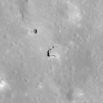
| M154453455L | |
|---|---|
 |
|
| Line | 8958 |
| Sample | 4694 |
| Inc. Angle | -16.0 |
| Emission Angle | 0.43 |
| Time | 13.02 |
| Resolution | 0.6 |
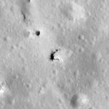
| M106088433L | |
|---|---|
 |
|
| Inc. Angle | -35.11 |
| Emission Angle | 1.16 |
| Time | 14.29 |
| Resolution | 1.29 |
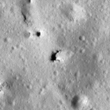
| M182745931L | |
|---|---|
 |
|
| Inc. Angle | -48.26 |
| Emission Angle | 2.11 |
| Time | 15.21 |
| Resolution | 1.27 |
| King 13a Stereo |
|---|
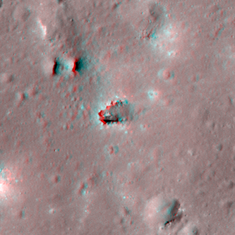 |