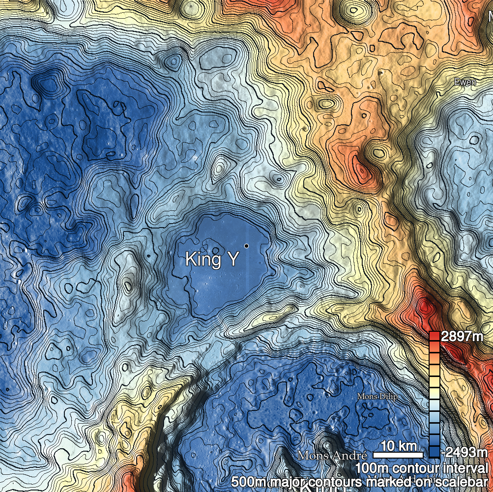
Pits Atlas: King 19
| Impact Melt pit: King | |
|---|---|
| Name | King 19 |
| Lat. | 6.5931 |
| Long. | 119.9861 |
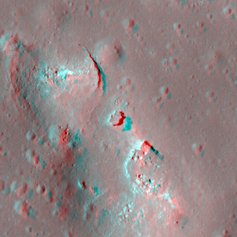
| Desc. | Round pit in the NE flank of a PRF. Floor appears flat, and high-resolution stereo indicates some degree of overhang under the W rim (towards the center of the PRF). There are several other collapses in the PRF: A narrow arcuate one 16m NNW, a wide collapse with a possible overhang at the N end 24m SSE, and a small indentation/pit 23m SSW. There are a handful of small pit-looking features in the area, including a semi-circular set of 1-3m pits/collapses (cluster diameter ~20m) ~300m N. |
| Types | |
| Terrain | Impact Melt |
| Host Feature | King |
| Funnel Min. Diam. | 15 |
| Funnel Max. Diam. | 17 |
| Inner Min. Diam. | 11 |
| Inner Max. Diam. | 13 |
| Azimuth | 45 |
| Depth | 4.0 |
| Depth 1 | 3.3 |
| Depth 2 | 4.5 |
| Depth 3 | 4.4 |
| Best Stereo Left | M128509025R |
| Best Stereo Right | M128509025R |
| DTMs | NAC_DTM_KINGCRATER2 |
| Clipping Width | 200 |
| Other IMGs | |
| Data Warning | |
| Entrance Ramp | N |
| Overhang | Y |
| Nearby Pits? | Y |
| Nearby Fractures? | N |
| Nearby Depressions? | Y |
| In Dome | Y |
| Beside Dome | N |
| In Depression | N |
| Colinear Pits | Y |
| Colinear Depressions | N |
| Colinear Fractures | N |
| King 19 Shaded Relief | |
|---|---|
 |
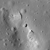
| M1138120053R | |
|---|---|
 |
|
| Line | 13577 |
| Sample | 4711 |
| Inc. Angle | 56.38 |
| Emission Angle | 2.53 |
| Time | 8.26 |
| Resolution | 1.18 |
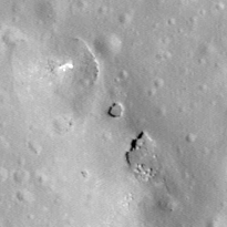
| M1131053889R | |
|---|---|
 |
|
| Inc. Angle | -27.67 |
| Emission Angle | -0.1 |
| Time | 13.77 |
| Resolution | 1.17 |
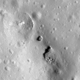
| M182745931R | |
|---|---|
 |
|
| Inc. Angle | -48.5 |
| Emission Angle | -1.02 |
| Time | 15.22 |
| Resolution | 1.27 |
| King 19 Stereo |
|---|
 |