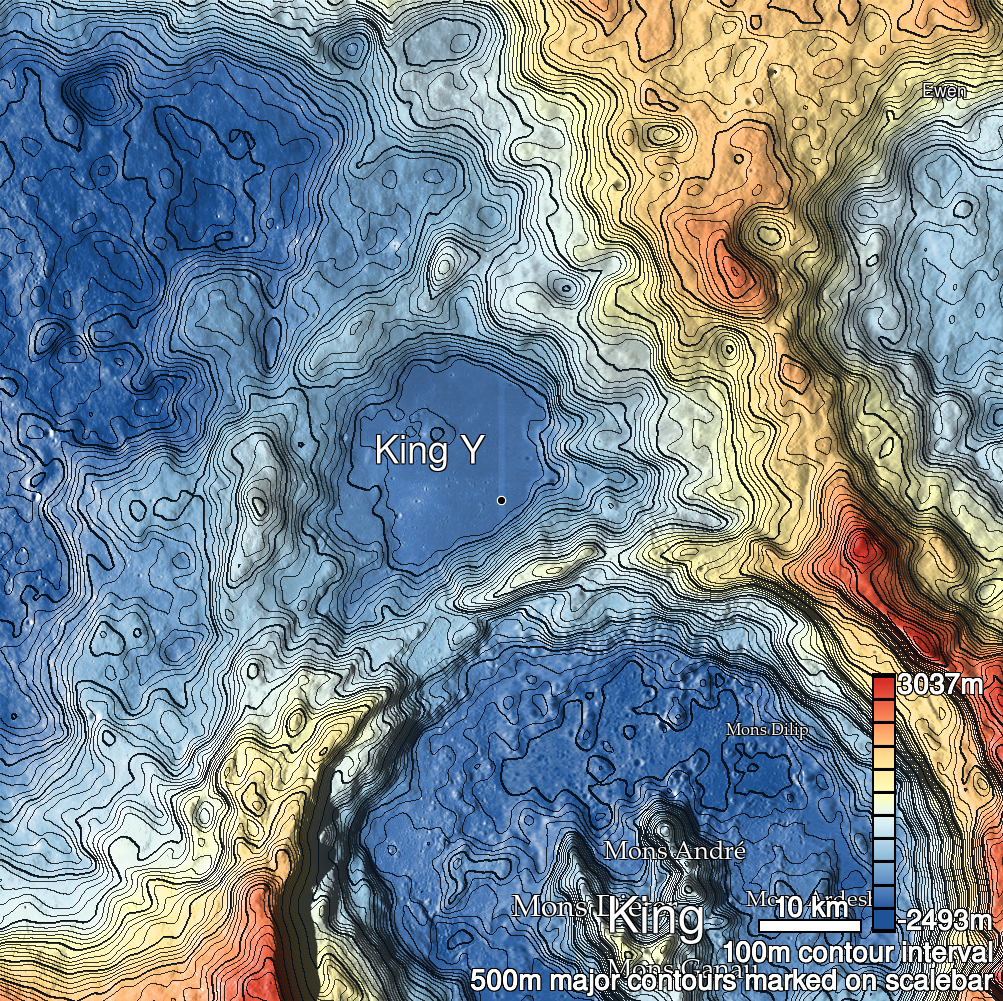
Pits Atlas: King 24a
| Impact Melt pit: King | |
|---|---|
| Name | King 24a |
| Lat. | 6.3416 |
| Long. | 119.9914 |
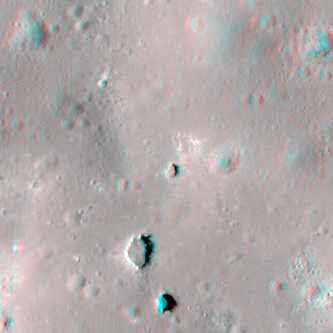
| Desc. | Northernmost (and smallest) of a triplet of pits in a PRF. This pit is near the top of the PRF. King 24b (largest of the triplet) is ~40m SSW, and King 24c is ~70m S. There are collapses at two ends of the PRF: ~220m SE, and ~170m SW, and there is a scattering of other small collapses, depressions, and possible tiny pits to the S. King 30 is ~230m SSE. |
| Types | |
| Terrain | Impact Melt |
| Host Feature | King |
| Funnel Min. Diam. | 9 |
| Funnel Max. Diam. | 9 |
| Inner Min. Diam. | 5 |
| Inner Max. Diam. | 7 |
| Azimuth | 35 |
| Depth | 2.0 |
| Depth 1 | 2.4 |
| Depth 2 | 2.0 |
| Depth 3 | 1.7 |
| Best Stereo Left | M128509025R |
| Best Stereo Right | M128509025R |
| DTMs | NAC_DTM_KINGCRATER2 |
| Clipping Width | 200 |
| Other IMGs | |
| Data Warning | |
| Entrance Ramp | N? |
| Overhang | ? |
| Nearby Pits? | Y |
| Nearby Fractures? | Y |
| Nearby Depressions? | Y |
| In Dome | Y |
| Beside Dome | N |
| In Depression | N |
| Colinear Pits | Y |
| Colinear Depressions | N |
| Colinear Fractures | N |
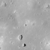
| King 24a Shaded Relief | |
|---|---|
 |
| M1120456952R | |
|---|---|
 |
|
| Line | 25474 |
| Sample | 2279 |
| Inc. Angle | 32.23 |
| Emission Angle | 1.05 |
| Time | 9.88 |
| Resolution | 1.17 |
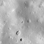
| M106088433R | |
|---|---|
 |
|
| Inc. Angle | -35.34 |
| Emission Angle | -2.13 |
| Time | 14.31 |
| Resolution | 1.29 |
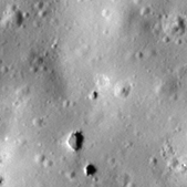
| M1138120053R | |
|---|---|
 |
|
| Inc. Angle | 56.36 |
| Emission Angle | 2.61 |
| Time | 8.26 |
| Resolution | 1.18 |
| King 24a Stereo |
|---|
 |