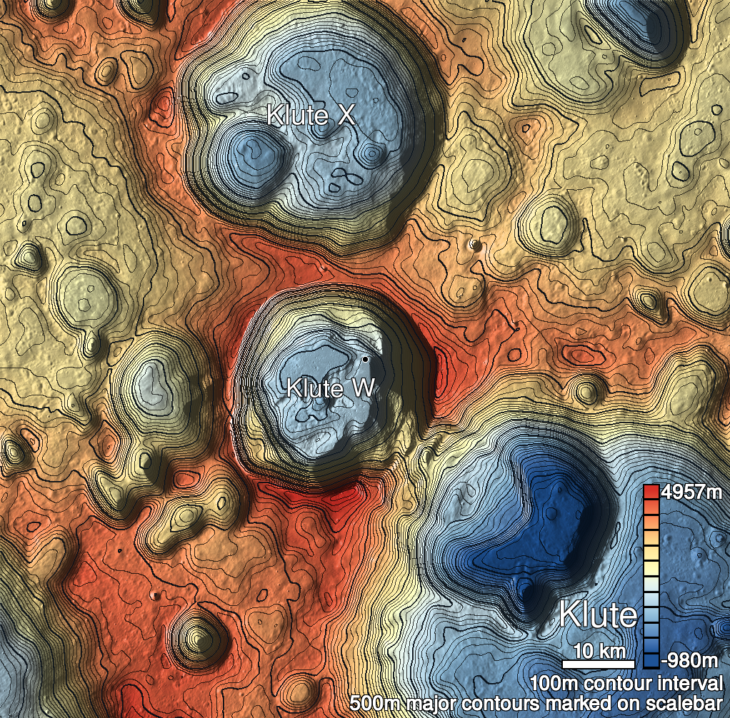
Pits Atlas: Klute W 2
| Impact Melt pit: Klute W | |
|---|---|
| Name | Klute W 2 |
| Lat. | 38.1157 |
| Long. | 216.8965 |
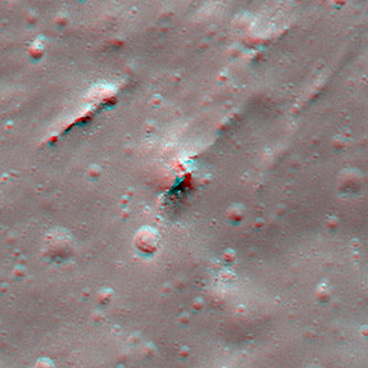
| Desc. | Pit at the south end of a cluster/string of linear features trending NNE/SSW. This pit is in a ~80m long depression. The NW wall appears to be a slope from surface to floor, other walls are vertical (perhaps with protruding rocks). There's a ~40m long linear fracture/depression ~60m NW, a ~60-m long S-shaped fracture/narrow pit ~150m N, and Klute W 6 is ~300m NNE. |
| Types | |
| Terrain | Impact Melt |
| Host Feature | Klute W |
| Funnel Min. Diam. | 19 |
| Funnel Max. Diam. | 30 |
| Inner Min. Diam. | 9 |
| Inner Max. Diam. | 12 |
| Azimuth | 25 |
| Depth | 5.0 |
| Depth 1 | 3.8 |
| Depth 2 | 3.9 |
| Depth 3 | 6.4 |
| Best Stereo Left | M171495141L |
| Best Stereo Right | M171495141L |
| DTMs | |
| Clipping Width | 200 |
| Other IMGs | |
| Data Warning | |
| Entrance Ramp | Y |
| Overhang | ? |
| Nearby Pits? | Y |
| Nearby Fractures? | Y |
| Nearby Depressions? | Y |
| In Dome | N |
| Beside Dome | N |
| In Depression | N |
| Colinear Pits | N |
| Colinear Depressions | Y |
| Colinear Fractures | N |
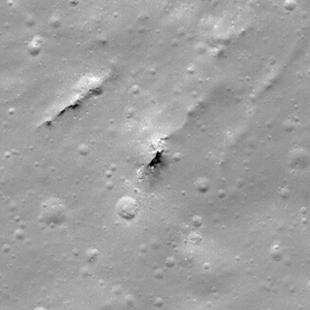
| Klute W 2 Shaded Relief | |
|---|---|
 |
| M140840176R | |
|---|---|
 |
|
| Line | 11580 |
| Sample | 2050 |
| Inc. Angle | 39.88 |
| Emission Angle | 0.89 |
| Time | 11.67 |
| Resolution | 0.62 |
| M127871750L | |
|---|---|
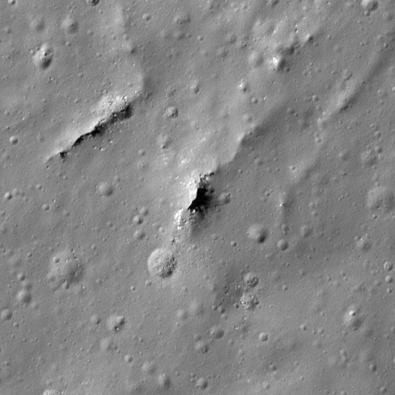 |
|
| Inc. Angle | 50.84 |
| Emission Angle | -2.87 |
| Time | 9.45 |
| Resolution | 0.47 |
| M182117615R | |
|---|---|
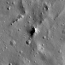 |
|
| Inc. Angle | -63.59 |
| Emission Angle | -1.27 |
| Time | 15.78 |
| Resolution | 1.54 |
| Klute W 2 Stereo |
|---|
 |