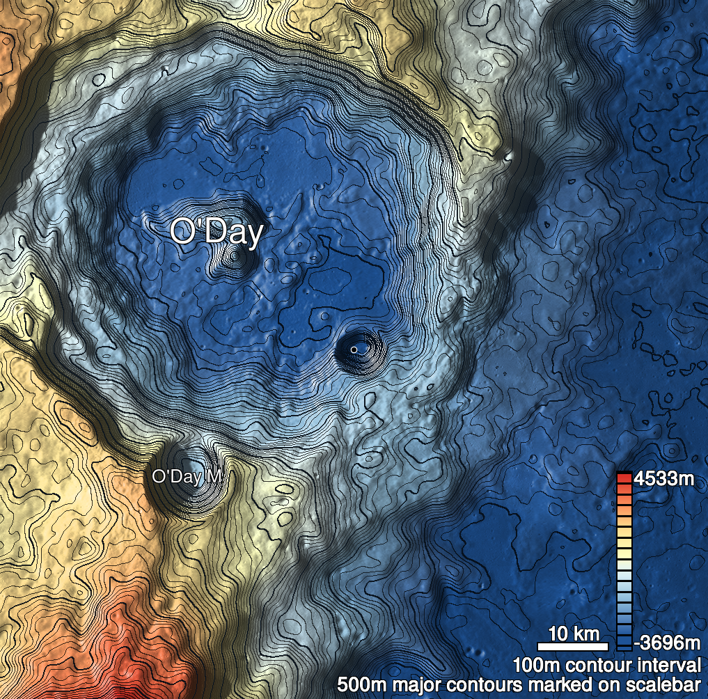
Pits Atlas: Oday 1
| Impact Melt pit: Oday | |
|---|---|
| Name | Oday 1 |
| Lat. | -30.9692 |
| Long. | 158.0535 |
| Desc. | Comma-shaped pit in a region of NE-SW trending linear depressions/fractures. Southern end of pit is filled with boulders (tops ~6m below rim), northern end floor has never been visible. South end has a ramp leading into the boulder field. Several tiny probably pits surround this one. |
| Types | |
| Terrain | Impact Melt |
| Host Feature | Oday |
| Funnel Min. Diam. | 14 |
| Funnel Max. Diam. | 20 |
| Inner Min. Diam. | 9 |
| Inner Max. Diam. | 17 |
| Azimuth | 145 |
| Depth | >7.0 |
| Depth 1 | >6.0 |
| Depth 2 | >6.0 |
| Depth 3 | >7.0 |
| Best Stereo Left | M1250880175R |
| Best Stereo Right | M1250880175R |
| DTMs | |
| Clipping Width | 200 |
| Other IMGs | |
| Data Warning | |
| Entrance Ramp | N? |
| Overhang | ? |
| Nearby Pits? | Y |
| Nearby Fractures? | Y |
| Nearby Depressions? | Y |
| In Dome | N |
| Beside Dome | N |
| In Depression | N |
| Colinear Pits | Y |
| Colinear Depressions | Y |
| Colinear Fractures | Y |
| Oday 1 Shaded Relief | |
|---|---|
 |
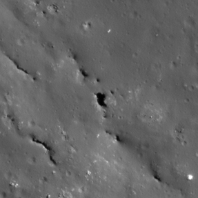
| M112917460R | |
|---|---|
 |
|
| Line | 17934 |
| Sample | 2033 |
| Inc. Angle | 51.07 |
| Emission Angle | 0.88 |
| Time | 9.07 |
| Resolution | 0.69 |
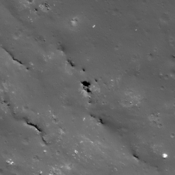
| M125895771L | |
|---|---|
 |
|
| Inc. Angle | 35.91 |
| Emission Angle | -0.85 |
| Time | 10.93 |
| Resolution | 0.58 |
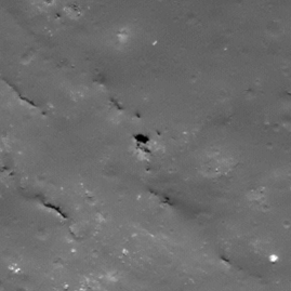
| M1117842450L | |
|---|---|
 |
|
| Inc. Angle | 32.33 |
| Emission Angle | 1.79 |
| Time | 11.83 |
| Resolution | 0.74 |
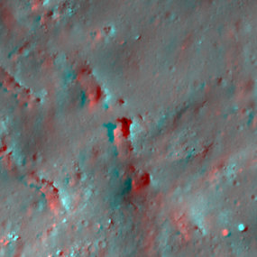
| Oday 1 Stereo |
|---|
 |