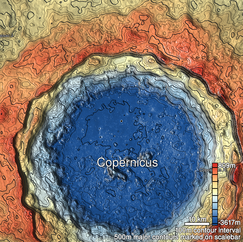
Pits Atlas: Copernicus 21
| Uncertain, Impact Melt pit: Copernicus | |
|---|---|
| Name | Copernicus 21 |
| Lat. | 10.1943 |
| Long. | 339.847 |
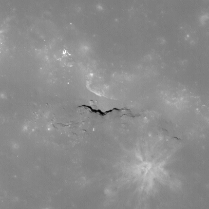
| Desc. | Irregular pit/canyon at the E end of a linear depression. There are vertical walls on the N and S sides, with open slopes to the surface on E and W (W slope is into the linear depression, E slope is into a small circular depression). No other pits in the immediate area, but Copernicus 13 is ~650m ESE. |
| Types | Uncertain |
| Terrain | Impact Melt |
| Host Feature | Copernicus |
| Funnel Min. Diam. | 60 |
| Funnel Max. Diam. | 150 |
| Inner Min. Diam. | 17 |
| Inner Max. Diam. | 44 |
| Azimuth | 105 |
| Depth | 15.0 |
| Depth 1 | 15.2 |
| Depth 2 | 15.3 |
| Depth 3 | 13.7 |
| Best Stereo Left | M153014813R |
| Best Stereo Right | M153014813R |
| DTMs | |
| Clipping Width | 200 |
| Other IMGs | |
| Data Warning | Depth 1 is extremely high-Sun |
| Entrance Ramp | Y |
| Overhang | N? |
| Nearby Pits? | N |
| Nearby Fractures? | N |
| Nearby Depressions? | Y |
| In Dome | N |
| Beside Dome | Y |
| In Depression | Y |
| Colinear Pits | N |
| Colinear Depressions | N |
| Colinear Fractures | N |
| Copernicus 21 Shaded Relief | |
|---|---|
 |
| M155369774L | |
|---|---|
 |
|
| Line | 38727 |
| Sample | 4738 |
| Inc. Angle | -9.7 |
| Emission Angle | 0.42 |
| Time | 12.29 |
| Resolution | 0.43 |
| M1136683665L | |
|---|---|
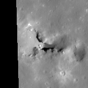 |
|
| Inc. Angle | 39.94 |
| Emission Angle | -0.27 |
| Time | 9.42 |
| Resolution | 1.15 |
| M1175545925R | |
|---|---|
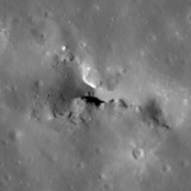 |
|
| Inc. Angle | -42.98 |
| Emission Angle | -2.18 |
| Time | 14.83 |
| Resolution | 1.18 |
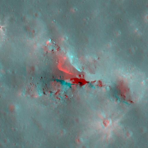
| Copernicus 21 Stereo |
|---|
 |