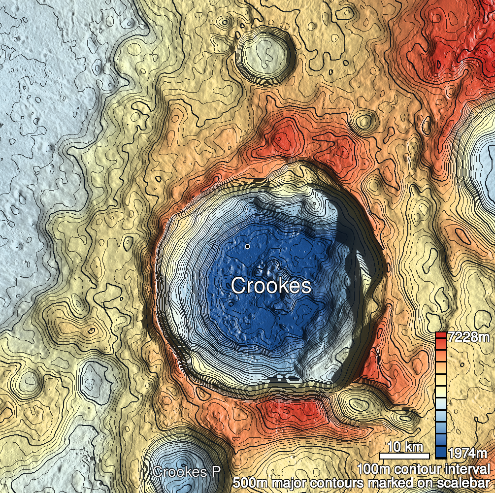
Pits Atlas: Crookes 2
| Impact Melt pit: Crookes | |
|---|---|
| Name | Crookes 2 |
| Lat. | -10.1275 |
| Long. | 194.7446 |
| Desc. | A rectangular pit with a relatively enormous boulder filling ~80% of it. The boulder is roughly round, and stretches from NW wall to SE wall. The SW wall is a gentle slope that leads into a ~60x30m depression, and the SE wall may also be a slope. No floor visible, depths are from SW slope near boulder. In line with fractures 125 and 250 m to the SW, and there's another fracture/depression string ~100m north. |
| Types | |
| Terrain | Impact Melt |
| Host Feature | Crookes |
| Funnel Min. Diam. | 20 |
| Funnel Max. Diam. | NA |
| Inner Min. Diam. | 11 |
| Inner Max. Diam. | 18 |
| Azimuth | 45 |
| Depth | 10.0 |
| Depth 1 | 8.9 |
| Depth 2 | 10.6 |
| Depth 3 | 9.5 |
| Best Stereo Left | M1214163158R |
| Best Stereo Right | M1214163158R |
| DTMs | |
| Clipping Width | 200 |
| Other IMGs | |
| Data Warning | |
| Entrance Ramp | Y |
| Overhang | ? |
| Nearby Pits? | N |
| Nearby Fractures? | Y |
| Nearby Depressions? | Y |
| In Dome | N |
| Beside Dome | N? |
| In Depression | Y |
| Colinear Pits | N |
| Colinear Depressions | N |
| Colinear Fractures | Y |
| Crookes 2 Shaded Relief | |
|---|---|
 |
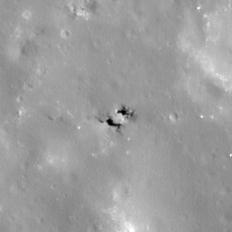
| M1119966613L | |
|---|---|
 |
|
| Line | 38120 |
| Sample | 4903 |
| Inc. Angle | 28.44 |
| Emission Angle | -0.31 |
| Time | 10.24 |
| Resolution | 0.93 |
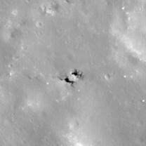
| M1150591312L | |
|---|---|
 |
|
| Inc. Angle | 27.39 |
| Emission Angle | -2.22 |
| Time | 10.31 |
| Resolution | 1.02 |
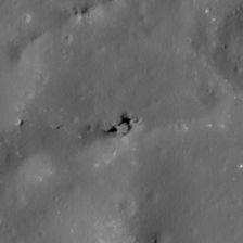
| M1099931168R | |
|---|---|
 |
|
| Inc. Angle | -31.0 |
| Emission Angle | -1.01 |
| Time | 14.0 |
| Resolution | 1.0 |
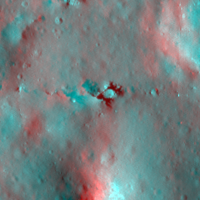
| Crookes 2 Stereo |
|---|
 |